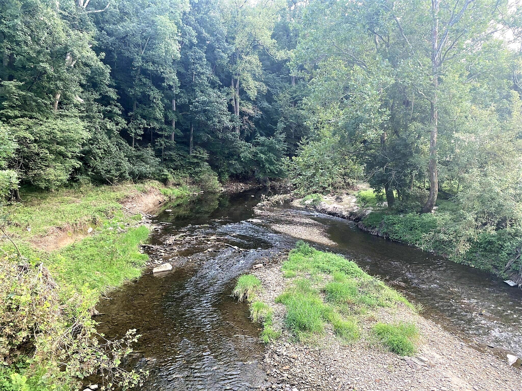
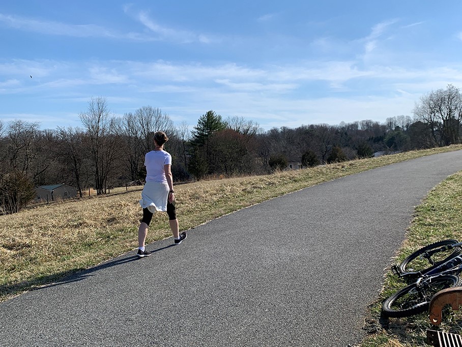
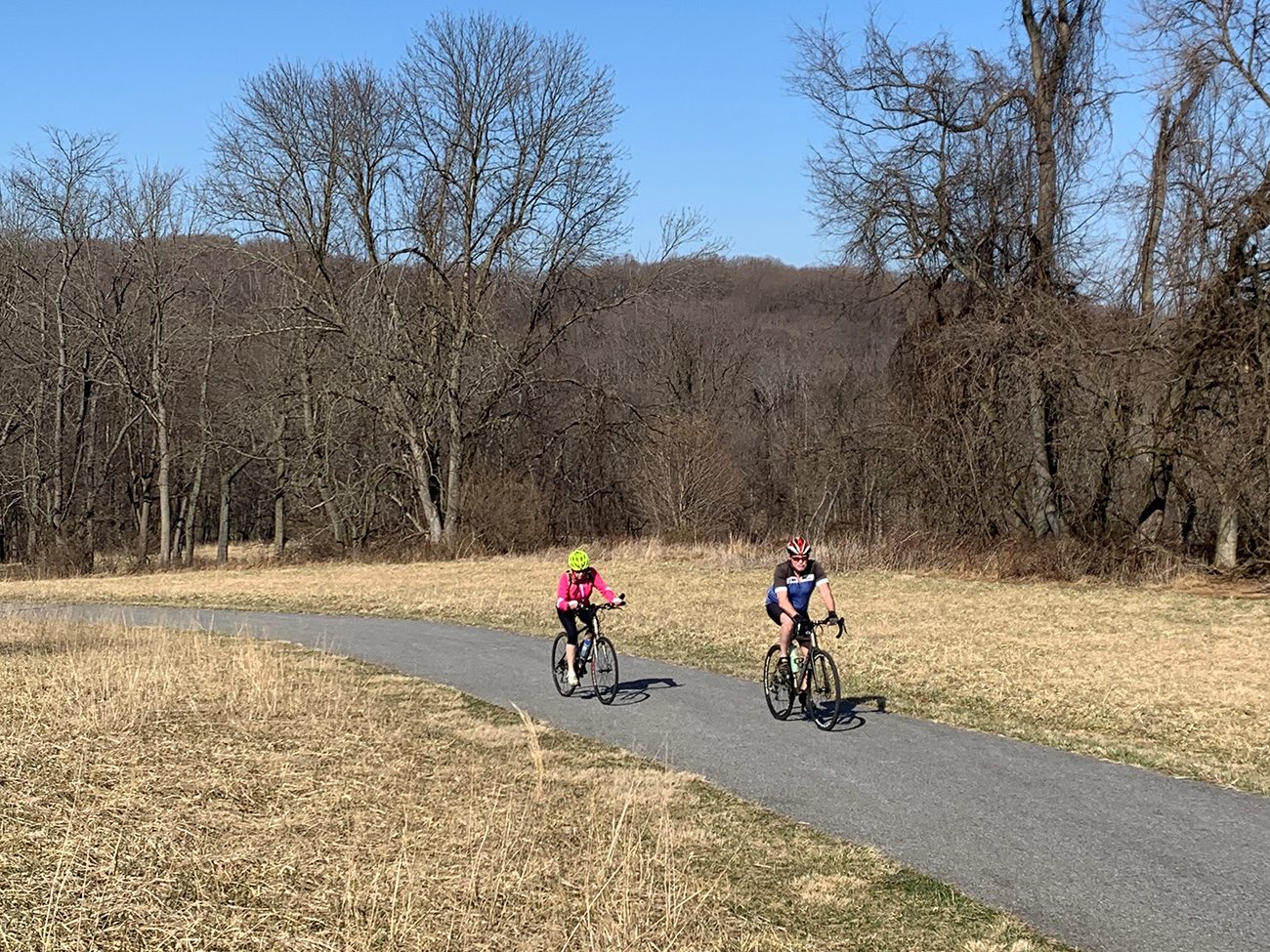
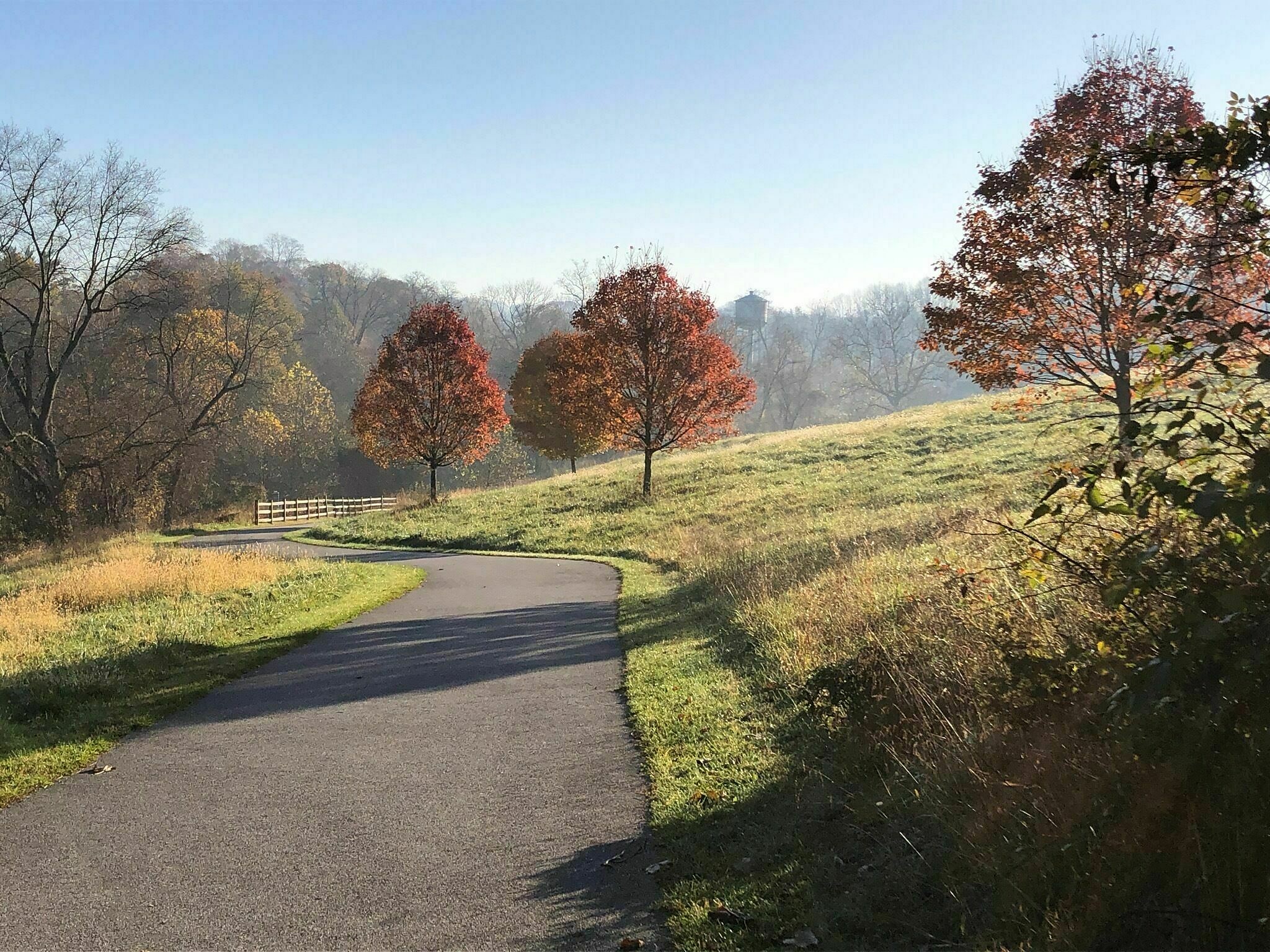
Located in Auburn Valley State Park, this walking, biking trail with the same name, has some slope elevation, along with flat sections. Walkers and bicyclists of moderate abilities, will enjoy seeing birds and wildflowers as they travel through the scenic Red Clay Valley.
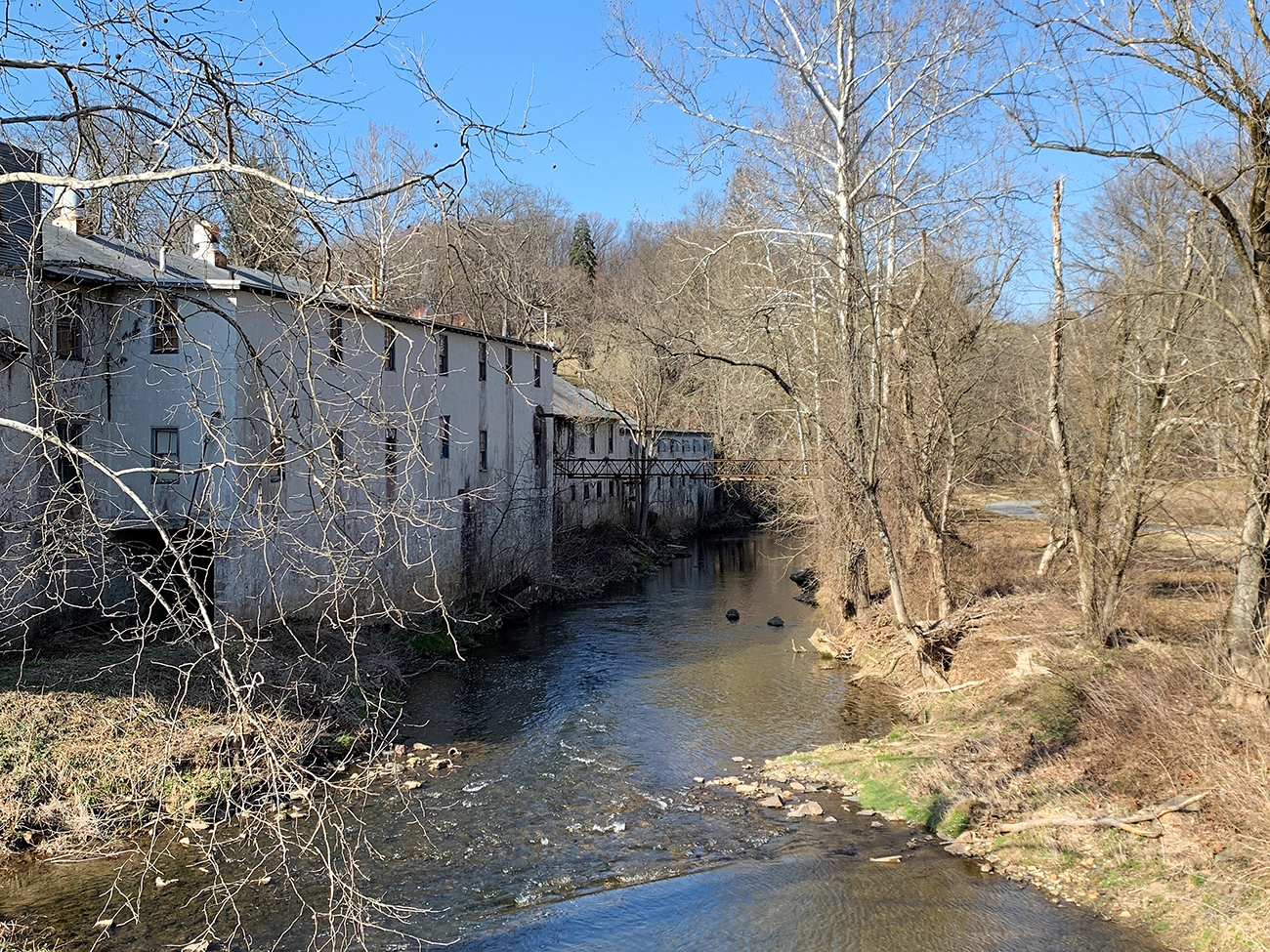
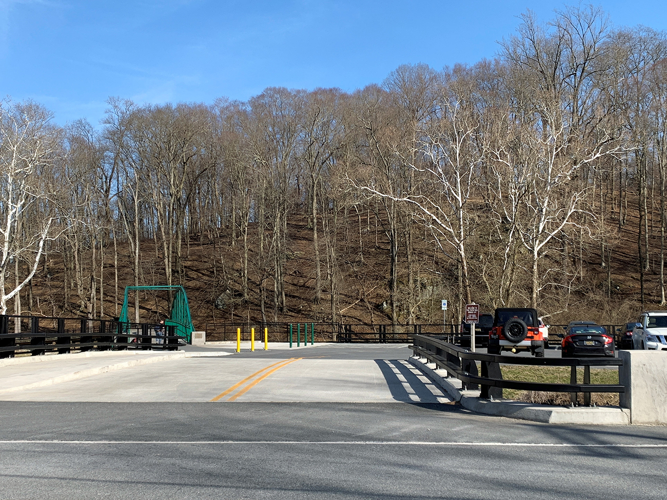
The trailhead begins off of Farm Lane, over a small secondary bridge above a stream. You can also park in the the Paper Mill Bridge parking lot, which is a 1/4 mile south from the trailhead (at this time this option is not recommended for handicap trail users due to the erosion of the road).
The gentle slope of the Auburn Valley Trail winds up a scenic hill where it hugs the Pennsylvania-Delaware border. It’s a beautiful loop to travel year ’round.
It’s hoped that the asphalt trail will allow safe and scenic rides on steam cars from the Marshall Steam Museum during Park events.
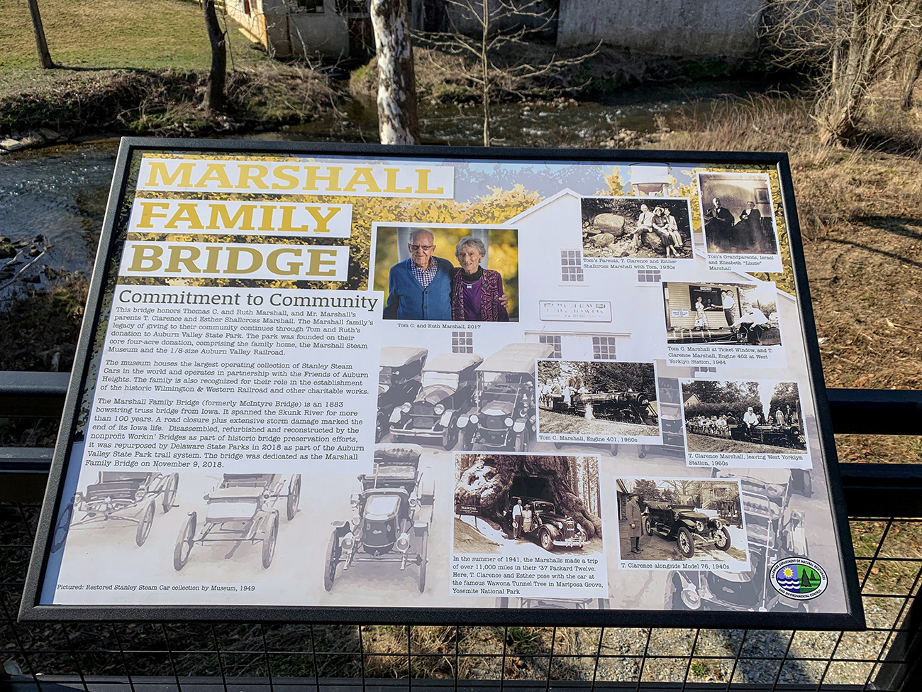
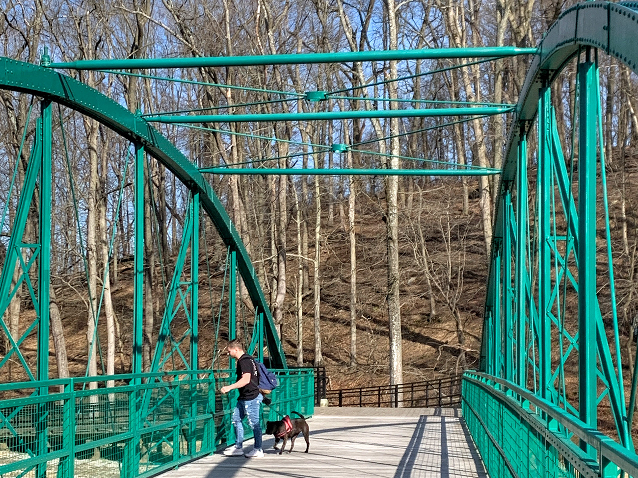
There is a shorter trail going east from the Paper Mill Bridge parking lot, (that is handicap accessible), where you’ll travel over the Marshall Bridge, a 1883 bowstring truss bridge, originating from Iowa. The bridge honors the Marshall Family’s legacy of giving to their community, including the land for Auburn Valley State Park, which you can learn more about when you visit.