
Home » Michael N. Castle C & D Canal Trail

Length:
Surface:
Difficulty:
County:

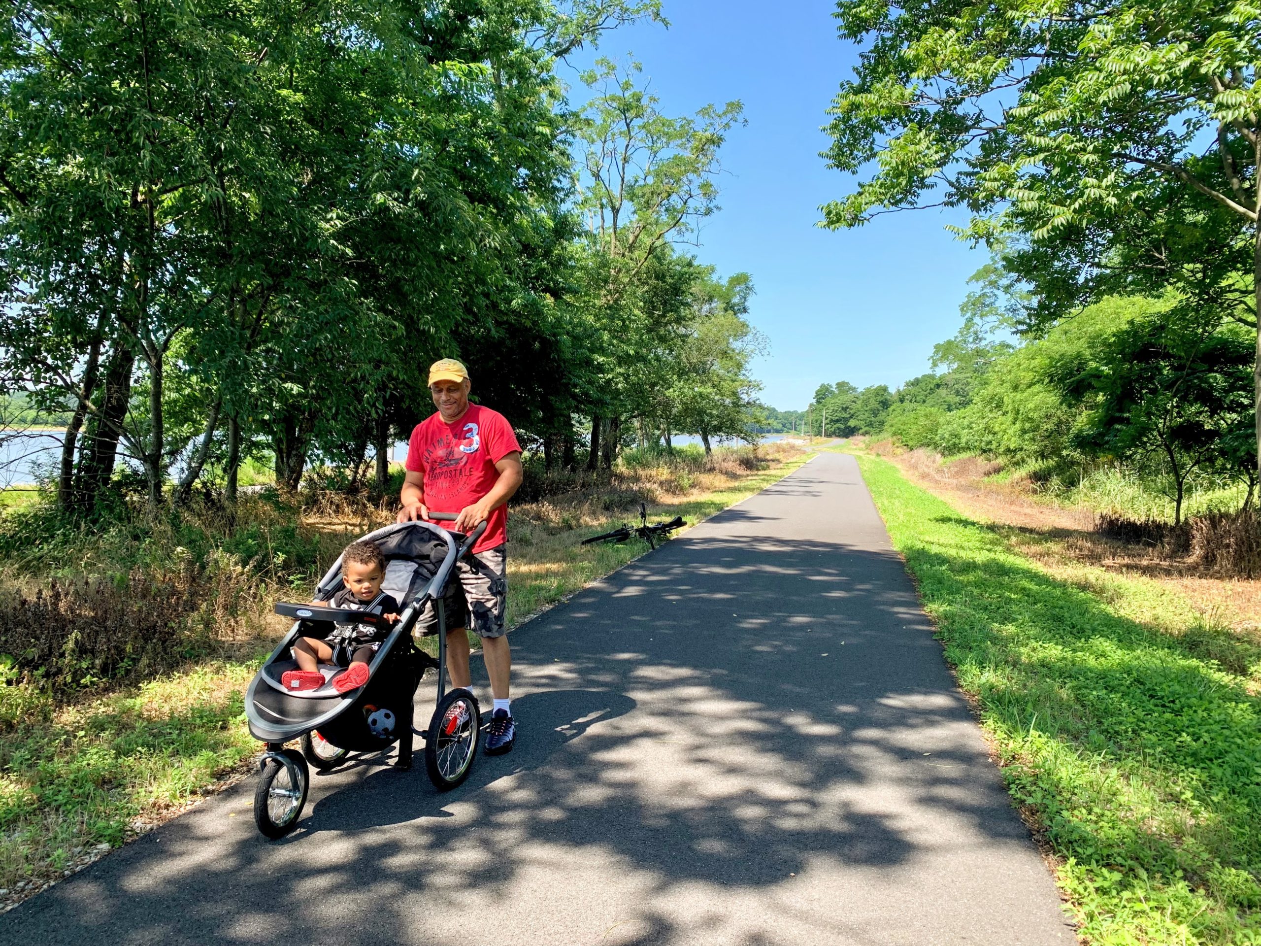
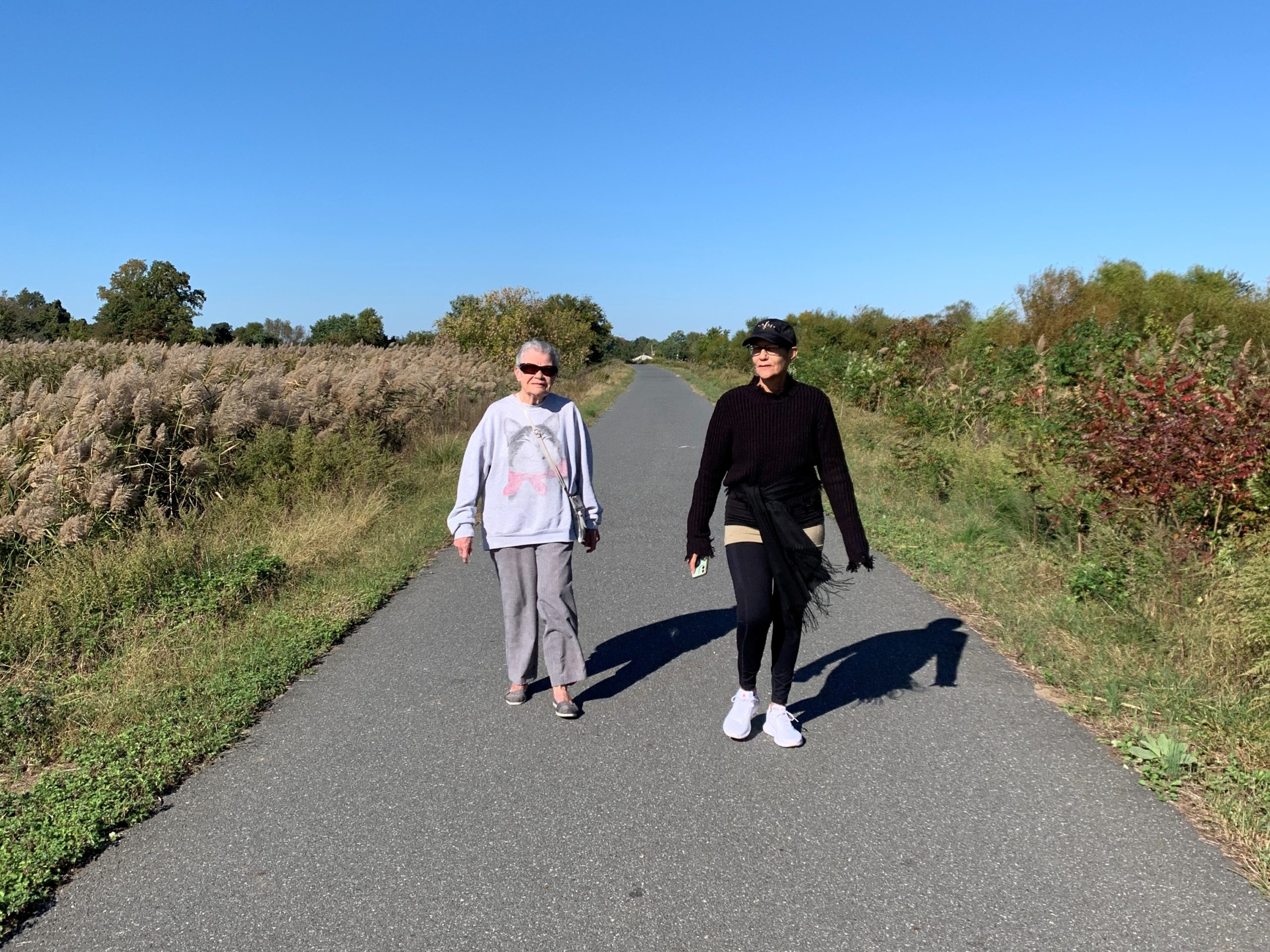
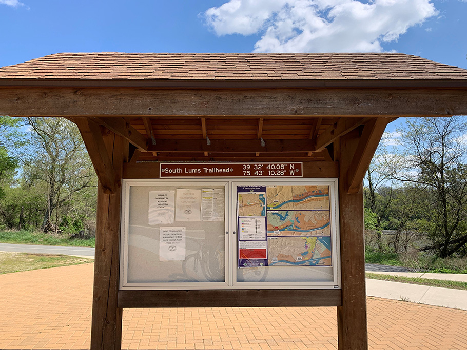
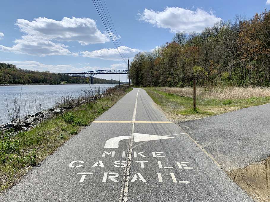
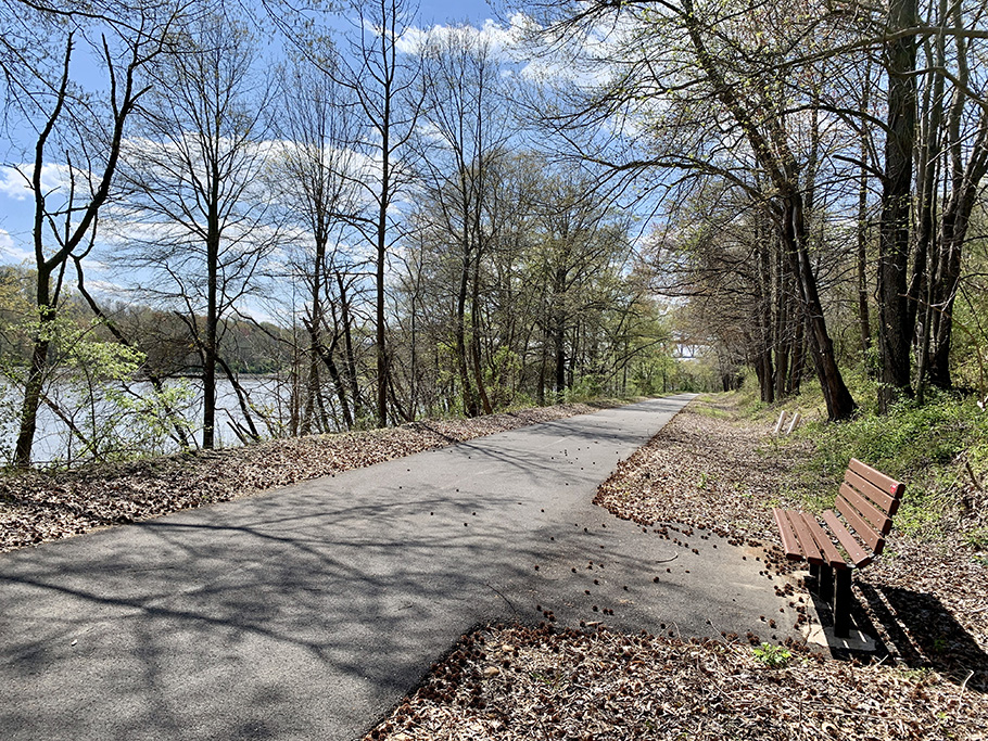
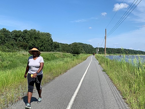
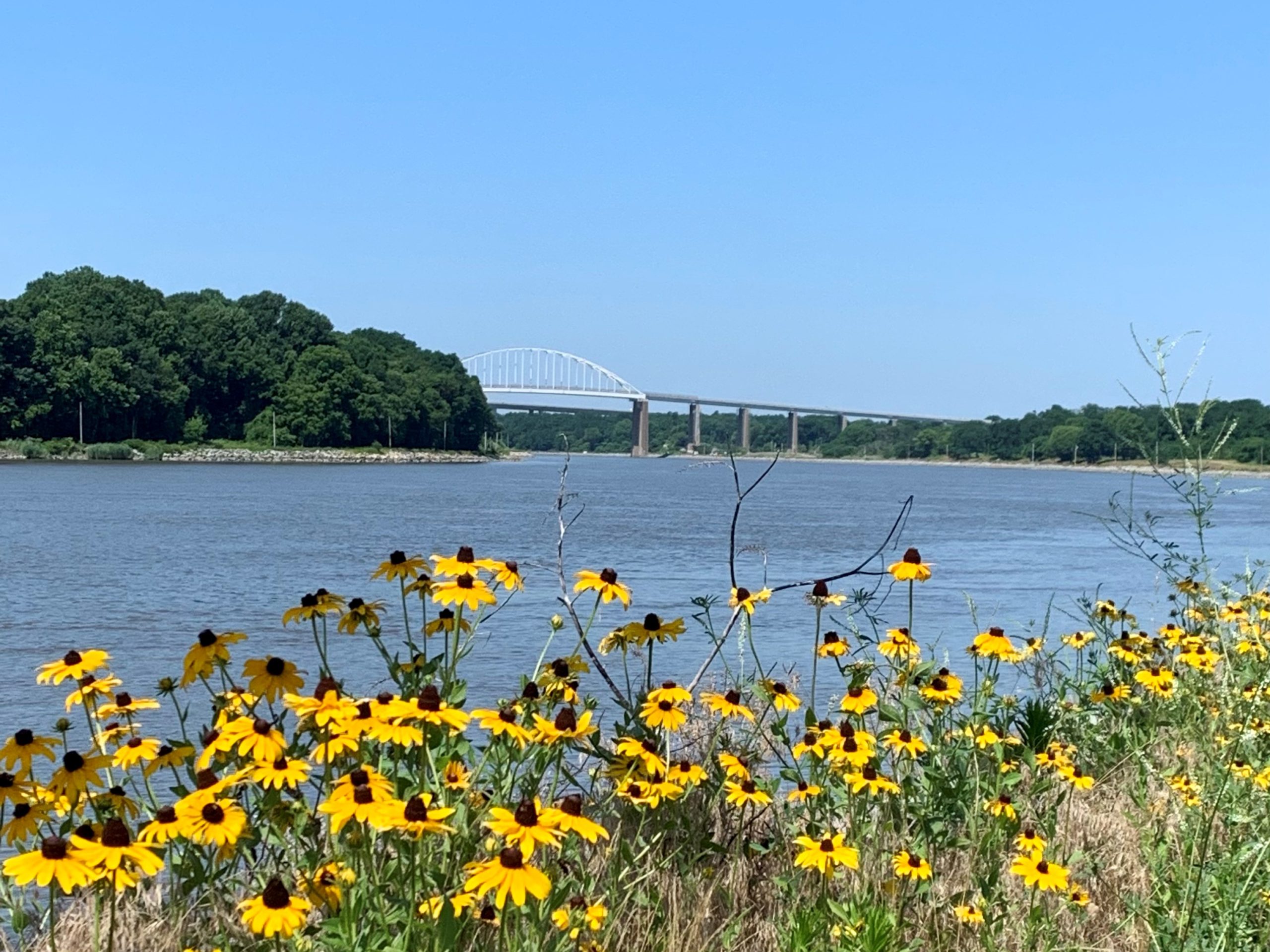
The Michael N. Castle Trail offers a scenic walking and biking route along the north shore of the Chesapeake and Delaware Canal in northern Delaware. Named for former U.S. Congressman and Governor Michael N. Castle, the trail includes 12.1 miles of paved surface, three trailheads, amenities including benches, kiosk comfort stations and landscaping. Trail counters measure trail usage of this popular trail with estimates exceeding 200,000 annually. It’s well worth a visit.
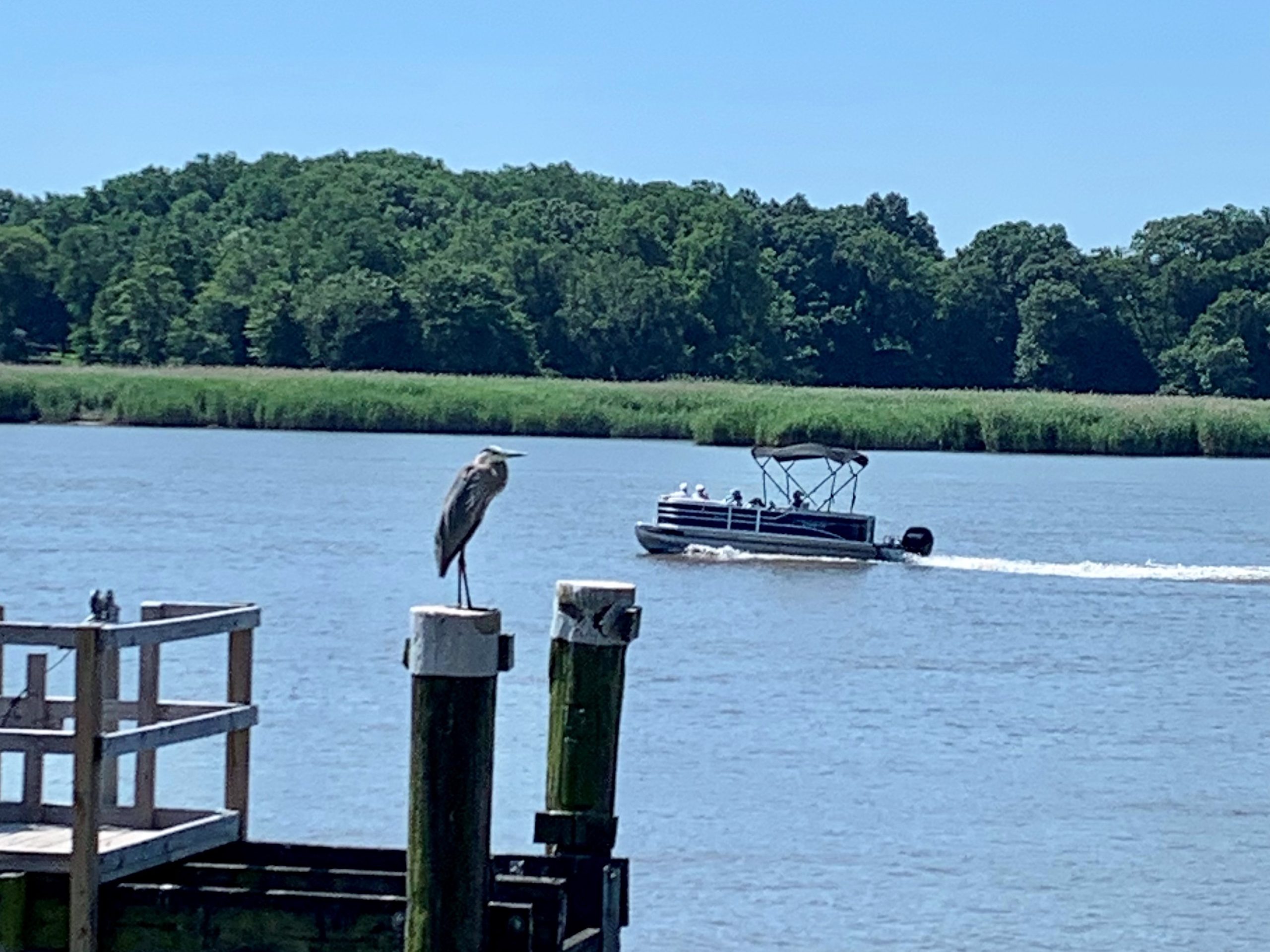
The C&D Canal dug in the 1800’s and widened in the early 1900’s links the Chesapeake Bay and Delaware River via a 14-mile route through what were once swampy marshlands. Today, the canal continues to be one of the world’s busiest, as much of the shipping traffic to and from the Port of Baltimore—one of the largest ports in the United States—makes its way through the channel.
Abundant wildlife and scenic views along the C&D Canal make this area a perfect location for a multi-use trail providing outstanding recreational opportunities for pedestrians, bicyclists, anglers, equestrians, bird-watchers and nature enthusiasts. Trail users can view wildlife, such as deer, turkeys and raccoons, along with rarer species, that include peregrine falcons, pied-billed grebes, and bald eagles as they travel along the banks of canal and past the area’s grasslands, forests, tidal marshes and ponds.
The trail is fairly flat, except for a somewhat challenging climb up a hill to get around the Summit North Marina. (Note that horses are not permitted on this short section.) Just west of the boat slips, the trail emerges into the southern reaches of Lums Pond State Park, which surrounds the largest freshwater pond in the state. You can fish and boat, but not swim in its waters, and several trails inside the park cater to hikers, bikers and equestrians.

The 0.4 mile Branch Canal Trail connects the Castle Trail with local businesses and historic and natural treasures in and around Delaware City. The Trail was built over the 1920’s-era C&D towpath located next to the open water of the Branch Canal. The Trail was elevated and a bridge installed over marshy areas, and a 9.6-acre tidal wetland was created adjacent to the trail.
The trail provides access to a recently-restored, important piece of Delaware history – the African Union Church Cemetery, the burial place of five members of the U.S. Colored Troops who served bravely for the Union in the Civil War.
Delaware City, on the eastern end of the trail, is the gateway for two state parks with both history and outdoor recreation features.
Be sure checkout the American Birding Association’s headquarters in Delaware City.
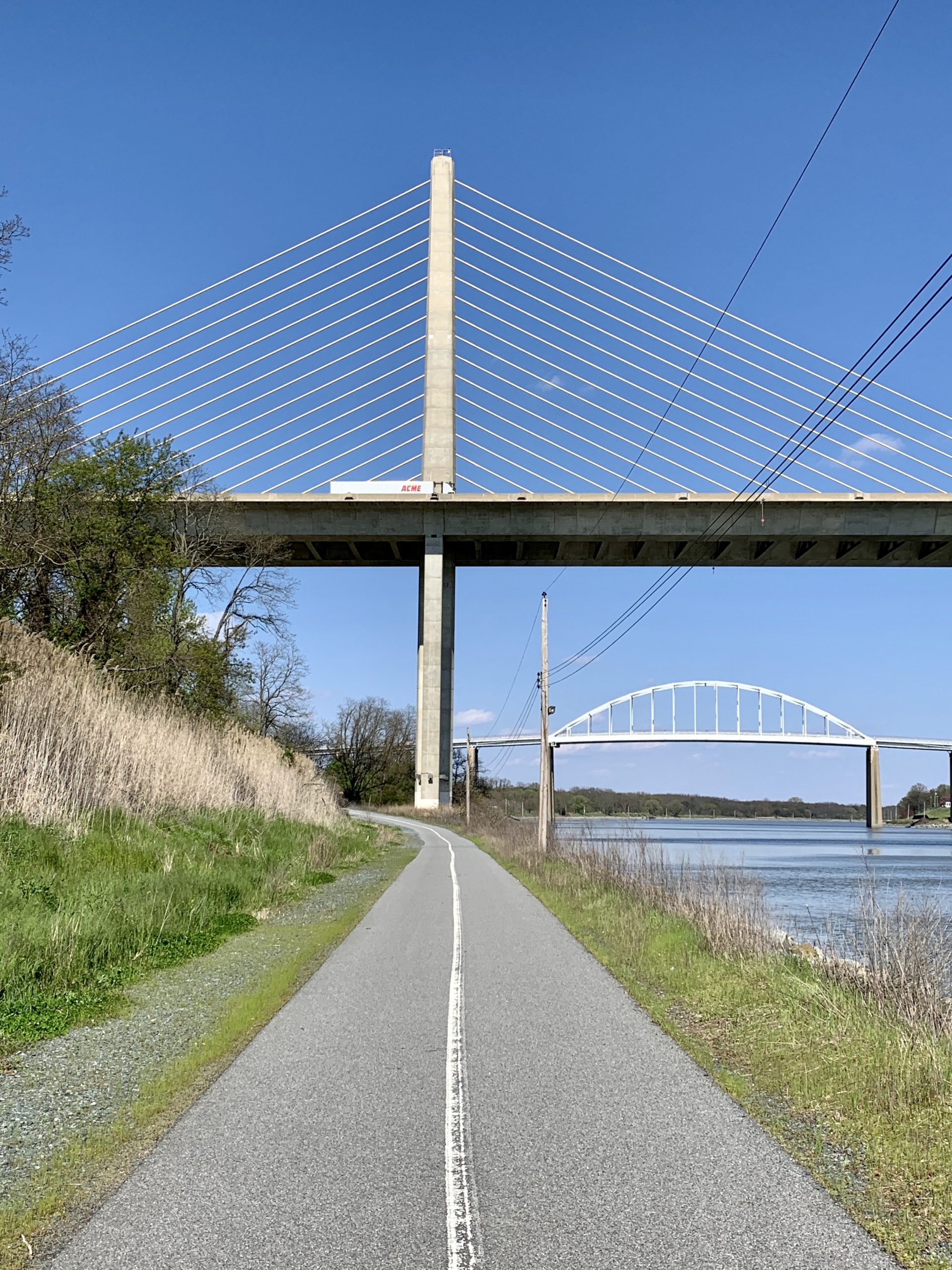
The 1.8-mile paved Ben Cardin Recreational Trail provides a link from the Castle Trail to Chesapeake City, MD and was named for Senator Cardin who served the State of Maryland for nearly 50 years.
The Castle and Cardin Trails run along the north bank of the C&D Canal and meet at the state line. The entire trail links the historic towns of Delaware City, DE. and Chesapeake City, MD.
Chesapeake City boasts charming boutiques and several exceptional restaurants. The city also provides a free ferry service from April through October to the south side of the community located on the opposite side of the canal. On this bank, you’ll find a delightful and important museum about the canal.
The trailhead for the C&D Canal trail is located on the trail’s western end at the base of Lock Street in North Chesapeake City. From there, the paved pathway runs along the waterfront for 1.8 miles to the Delaware border. Parking is located under the Chesapeake City Bridge.
For more information on the Ben Cardin Recreation Trail, visit the Chesapeake City website.
NOTE: Spring/Early Summer 2026 Section Closures:
Click on the highlighted trail in the interactive map below for trail information and directions.
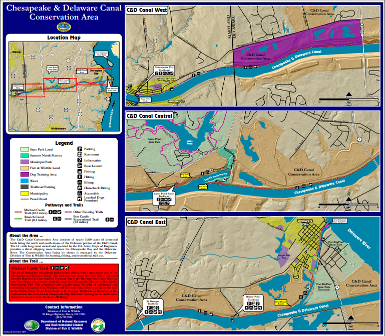
On the eastern side of the trail, there are two trailheads with parking and restrooms: one in St. Georges under the US 13 bridge, and the other at Biddle Point off Cox Neck Road.
In Delaware City there is a parking lot right along Route 9 (aka the Delaware Bayshore Byway). It's located near the bottom of the Reedy Point Bridge. Map
To reach the St. Georges trailhead from Interstate 95, take Exit 4 (State Route 7/SR 1), and travel south on SR 1/SR 7 for 4.9 miles. Take Exit 156, and merge onto SR 1/US 13. Go 2.2 miles, and take Exit 152. Turn left onto SR 72/US 13, and after 0.3 mile, turn right onto US 13/SR 7. At 1.4 miles, take a slight right onto N. Main Street. Continue 0.4 mile until N. Main Street reaches the Chesapeake and Delaware Canal and the trail.
To reach the Biddle Point trailhead, which also offers horse trailer parking, follow the directions above to Exit 152. Turn left onto SR 72/US 13, and after 0.3 mile, turn right onto US 13/SR 7. At 1 mile, turn left onto Cox Neck Road. After 1.6 miles, turn right at a sign for the C&D Canal Wildlife Area. Follow the road 0.6 mile to the Chesapeake and Delaware Canal and the trail.
To reach the Summit Bridge Trailhead (just south of Lums Pond State Park), from Middletown, at the intersection of US 301 and SR 299, take US 301 north for 8.5 miles. Turn right onto SR 71, and go 0.8 mile. Turn right onto Old Summit Road, and go 0.4 mile. A small gravel lot will be on your right.
The property along the north and south banks of the C&D Canal is owned by the U.S. Army Corps of Engineers and leased under a long-term agreement to the States of Delaware and Maryland.
In Delaware most of the 5,178 acres is managed by DNREC’s Division of Fish & Wildlife as the C&D Canal Conservation Area. A small portion, including Fort DuPont, is administered by DNREC’s Division of Parks & Recreation, which also operates nearby Fort Delaware and Lums Pond State Parks. Contact: Regional Wildlife Manager, Eric Ludwig at Eric.ludwig@delaware.gov.
In Maryland the property is managed by the Maryland Department of Natural Resources.


